Social Media Picasa Youtube
Showing posts with label Fire Season. Show all posts

Friday, September 8, 2017

Fire managers to lift Stage 1 Fire Restrictions for lands within south-central Idaho

News Release
DATE: September 8, 2017
CONTACT:  
Emily Callihan (IDL)- 208-334-0236
Kelsey Brizendine (BLM)- 208-732-7315
Julie Thomas (Forest)-208-737-3200

Fire managers to lift Stage 1 Fire Restrictions for lands within south-central Idaho


                  SHOSHONE, Idaho- Cooling evening temperatures and higher overnight relative humidity have lowered the threat of wildfire, prompting state and federal land management agencies to lift Stage 1 Fire Restrictions on lands within south-central Idaho effective Sept. 10 at midnight. This area includes federal, state and private forest, rangelands, roads and trails situated in Elmore, Gooding, Jerome, Lincoln, Minidoka, Owyhee and Twin Falls counties. These areas are located within zones and are described below:

Shoshone Zone 
All Twin Falls District BLM and Idaho State and private lands north of I-84 to Highway 20. From King Hill east to Massacre Rocks State Park.

  Three Creek Zone
 All Twin Falls District BLM and Idaho State and private lands from I-84 south to Idaho/Nevada border. West of Highway 93 to the Bruneau Canyon

  Cassia Zone
All Twin Falls District BLM and Idaho State and private lands from I-84/I-86 south to Idaho/Utah/Nevada border. East of Highway 93 to the Cassia County/Oneida County line.  

Fire restrictions are still in effect for the following:

Sawtooth North Zone
All Sawtooth National Forest, Twin Falls District BLM, and Idaho State and private lands north of Highway 20 to the northern most Sawtooth National Forest boundary.  From Hill City east to the Craters of the Moon National Park Visitor Center.

While the need for open burning restrictions has decreased in some areas, fire managers would like to remind the public that the accidental start of a wildfire can still be devastating.  Be alert and be aware.  Follow these tips to help prevent wildfire:
o   NEVER leave a camp fire unattended
o   Keep water, dirt and a shovel near your fire at all times
o   Make sure your fire is dead out and cold to the touch before you leave it
o   Never use fireworks, exploding targets or tracer rounds on or near public land.

Do your part to keep the Magic Valley safe from wildfire. One Less Spark means One Less Wildfire.
If you are planning a visit to public lands in these areas, please check with the Sawtooth Ranger District offices https://www.fs.usda.gov/sawtooth, the Twin Falls District BLM www.blm.gov/idaho or the Idaho Department of Lands for the latest information or visit www.idahofireinfo.com or Idaho Fire Info on Facebook.   

Thursday, August 31, 2017

Deer Park Fire caused by vehicle fire

News Release
For Immediate Release: August 31, 2017, 5 p.m.
Contact: Kelsey Griffee, kgriffee@blm.gov, 208-521-8709

Deer Park Fire caused by vehicle fire
Twitter: @BLMIdahoFire Facebook: @Idahofireinfo
(#DeerParkFire & BLMIFDFire)

MENAN, ID - The Deer Park Fire started at approximately 12:30 p.m. August 25 when a vehicle caught fire and spread to consume 17,588 acres. Multiple agencies assisted in firefighting efforts, which included structure protection and evacuations.
The fire was caused by an individual off roading on the lava fields north of Deer Park and west of Menan Butte. While off roading the vehicle high centered and caught fire igniting the vegetation around it.
The BLM asks the public to use existing roads and trails while recreating on public lands. Cross country travel is restricted.
There have been multiple human caused fires this year in the Menan Butte area. The BLM asks the public to keep fire prevention in mind; realizing that shooting can spark a fire, campfires can escape, and driving vehicles off roads or with dragging metal can ignite a wildfire.
For breaking fire information, follow @BLMIdahoFire on Twitter and search for #BLMIFDFire for posts specifically related to eastern Idaho. For additional wildfire updates, Firewise information, and fire prevention tips visit www.IdahoFireInfo.com.  One less spark means one less Idaho wildfire.

Tuesday, August 29, 2017

Rising River Fire

DATE: August 29, 2017 5:00 p.m.
CONTACT: Kelsey Griffee, 208-521-8709
Rising River Fire
Twitter @BLMIdahoFire Facebook @Idahofireinfo
#RisingRiverFire

Start Date: 8/29/2017 at 2:00 p.m.


Location and Jurisdiction: 12 miles southwest of Idaho Falls, Idaho on BLM lands (Hells Half Acre)


Cause: Lightning 


Fire Size: 10 acres


Percent Contained: 0%


Structures Threatened: No structures are threatened.


Fuels and Terrain:  Grass and brush dispersed between lava rock


Fire Behavior: Fire is actively consuming grass and brush between the lava rocks

Fire Crews/Resources: 5 engines, 1 dozer, 1 handcrew, 8 smokejumpers


Evacuations:  No evacuations.


Closures: No closures


Summary:  The Rising River Fire started at approximately 2 p.m. today by lightning 12 miles southwest of Idaho Falls on Hells Half Acre BLM lands. Smoke is visible from I-15 to the west. Lightning started the fire in the lava fields, which makes accessibility difficult while at the same time slowing the fire’s growth due to lava rock veins across the area. The fire is not threatening structures or roads. Firefighters are hiking into the fire at the time of this release. 

Monday, August 28, 2017

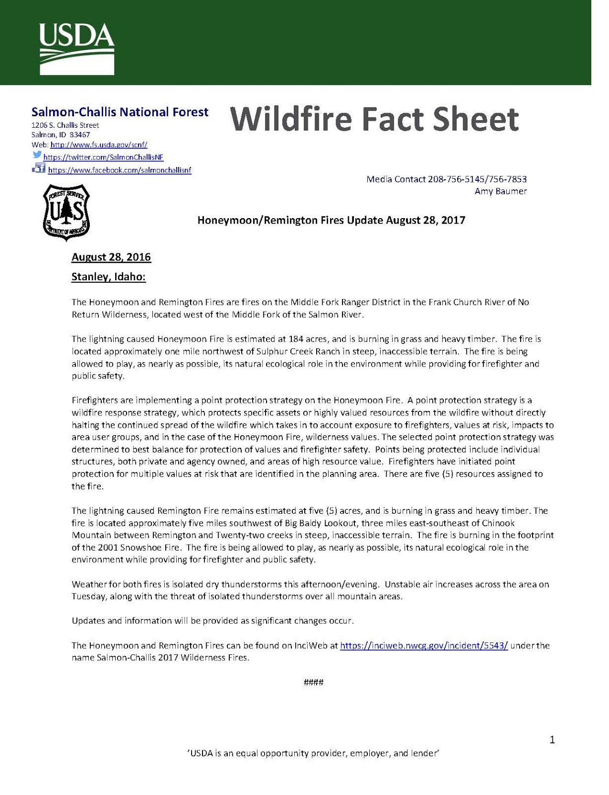
Honeymoon/Remington Fires Update August 28, 2017

Salmon-Challis National Forest


Deer Park Fire Final Update

News Release
DATE: August 28, 2017 5:30 p.m.
CONTACT: Kelsey Griffee, 208-521-8709
Deer Park Fire
Twitter @IdahoFireInfo #DeerParkFire
**Final update unless significant fire activity**

Start Date: 8/25/2017 at 12:30 p.m.

Location and Jurisdiction: West of Menan Butte and north of Deer Park, 12 miles west of Rexburg, Idaho on BLM

Cause: Human, under investigation 

Fire Size: 17,588 acres

Percent Contained: 90% contained, will be 100% contained at 10 p.m.

Structures Threatened: No structures are threatened.

Fuels and Terrain:  Grass and brush

Fire Behavior: Fire activity is minimal and smoldering.
Fire Crews/Resources: 13 engines, 3 dozers, 3 water tenders, 1 helicopter and the Sawtooth Hotshots (91 firefighters).

Evacuations:  No evacuations.

Closures: The gun range, Unified Sportsmen’s Club, off of Hwy 33 and west of Menan Butte remains closed to the public, it is being used by firefighters as the incident command post.

Summary:  Firefighters continued mopping up the fire today. Smoke seen today was from unburned vegetation in the fire’s interior. The fire perimeter is completely lined with dozer line or fire retardant, which has contained the fire. One hundred percent containment is expected for 10 p.m. tonight. Containment does not mean the fire is completely out, but that the fire perimeter has been lined. Firefighters will continue extinguishing heat within the fire’s interior.

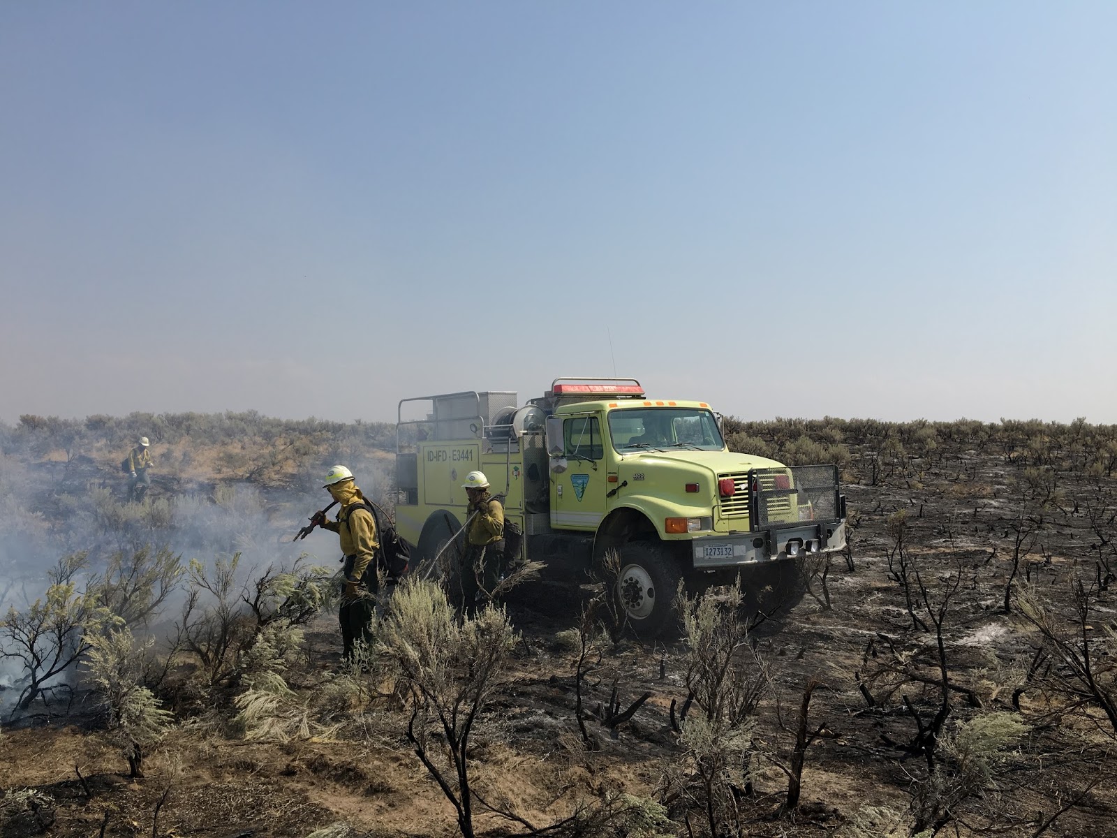
*Photo of firefighters extinguishing burning vegetation within the fire's interior*

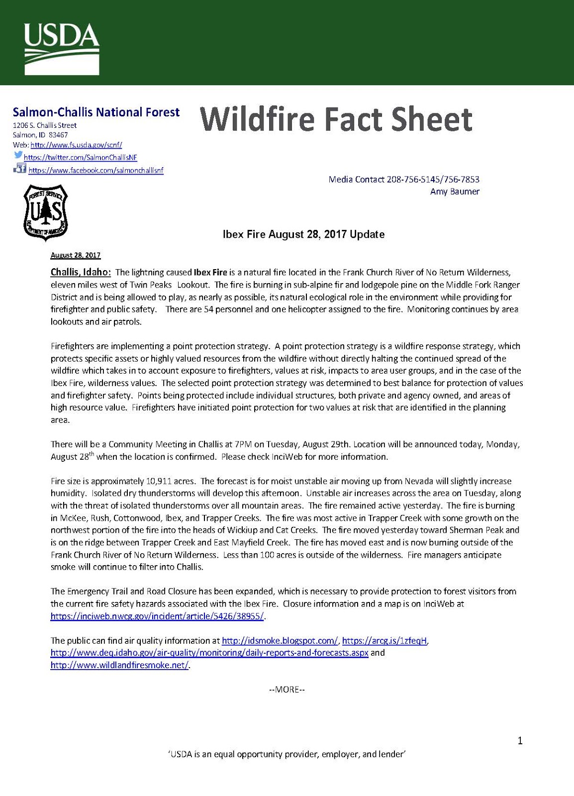
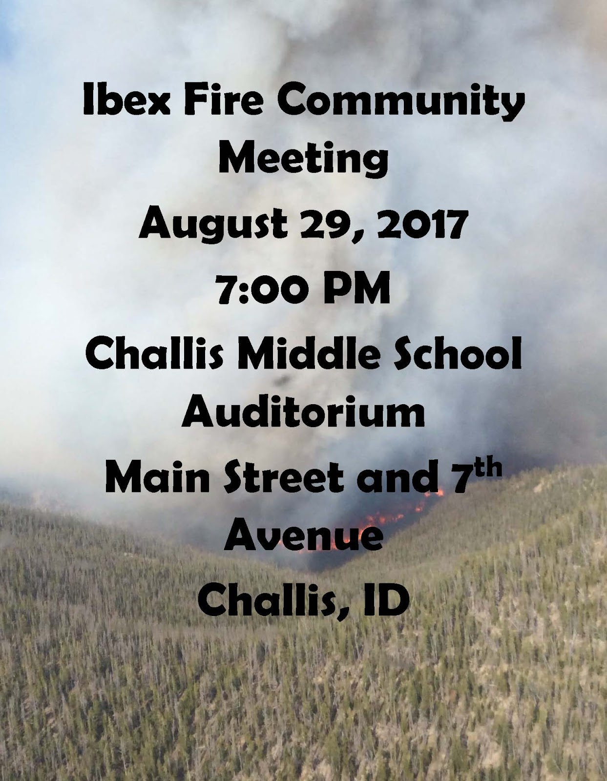
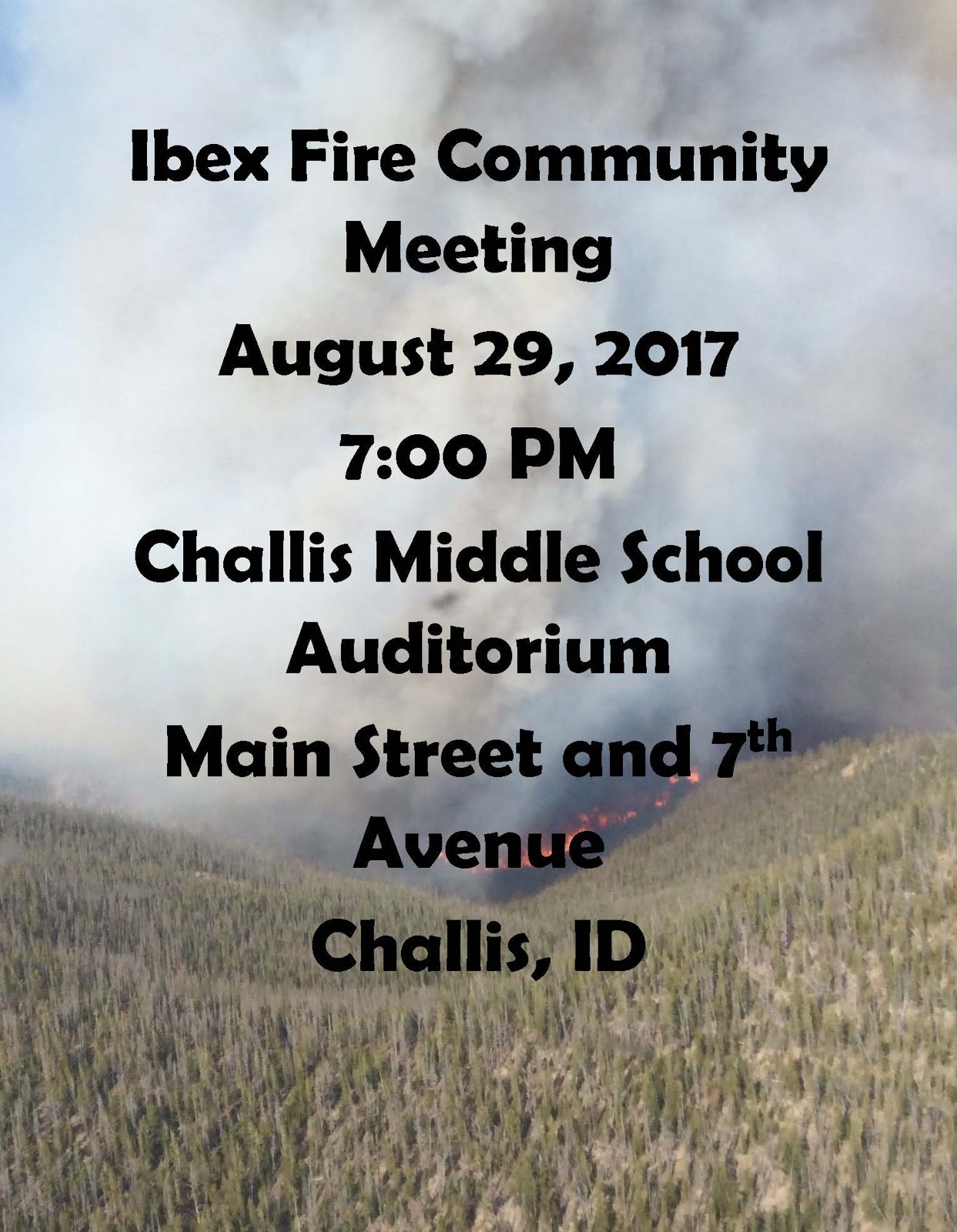
Ibex Fire August 28, 2017 Update

Salmon-Challis National Forest


Deer Park Fire AM Update

DATE: August 28, 2017 7:30 a.m.
CONTACT: Kelsey Griffee, 208-521-8709
Deer Park Fire
Twitter @IdahoFireInfo #DeerParkFire

Start Date: 8/25/2017 at 12:30 p.m.


Location and Jurisdiction: West of Menan Butte and north of Deer Park, 12 miles west of Rexburg, Idaho on BLM


Cause: Human, under investigation 


Fire Size: 17,588 acres


Percent Contained: 65% contained, estimated containment August 28, 2017 at 8 p.m.


Structures Threatened: No structures are threatened.


Fuels and Terrain:  Grass and brush


Fire Behavior: Fire activity died down over night due to high humidity and is minimal and smoldering.

Fire Crews/Resources: 14 engines, 4 dozers, 3 water tenders, and the Sawtooth Hotshots (115 firefighters). Air attack is flying the fire this morning and will call air resources as needed.


Evacuations:  No evacuations at this time.


Closures: The gun range, Unified Sportsmen’s Club, off of Hwy 33 and west of Menan Butte remains closed to the public, it is being used by firefighters as the incident command post.


Summary:  Firefighters stayed on the fire over night and today will continue to secure the fire perimeter and will begin mopping up contained portions of the fire. Expect to still see smoke and flames from burning vegetation in the fire’s interior. Fire managers still expect full containment by the end of shift today, August 28.  


For breaking fire information, follow @BLMIdahoFire on Twitter and search for #BLMIFDFire for posts specifically related to eastern Idaho. For additional wildfire updates visit www.IdahoFireInfo.com.  One less spark means one less Idaho wildfire.

Sunday, August 27, 2017

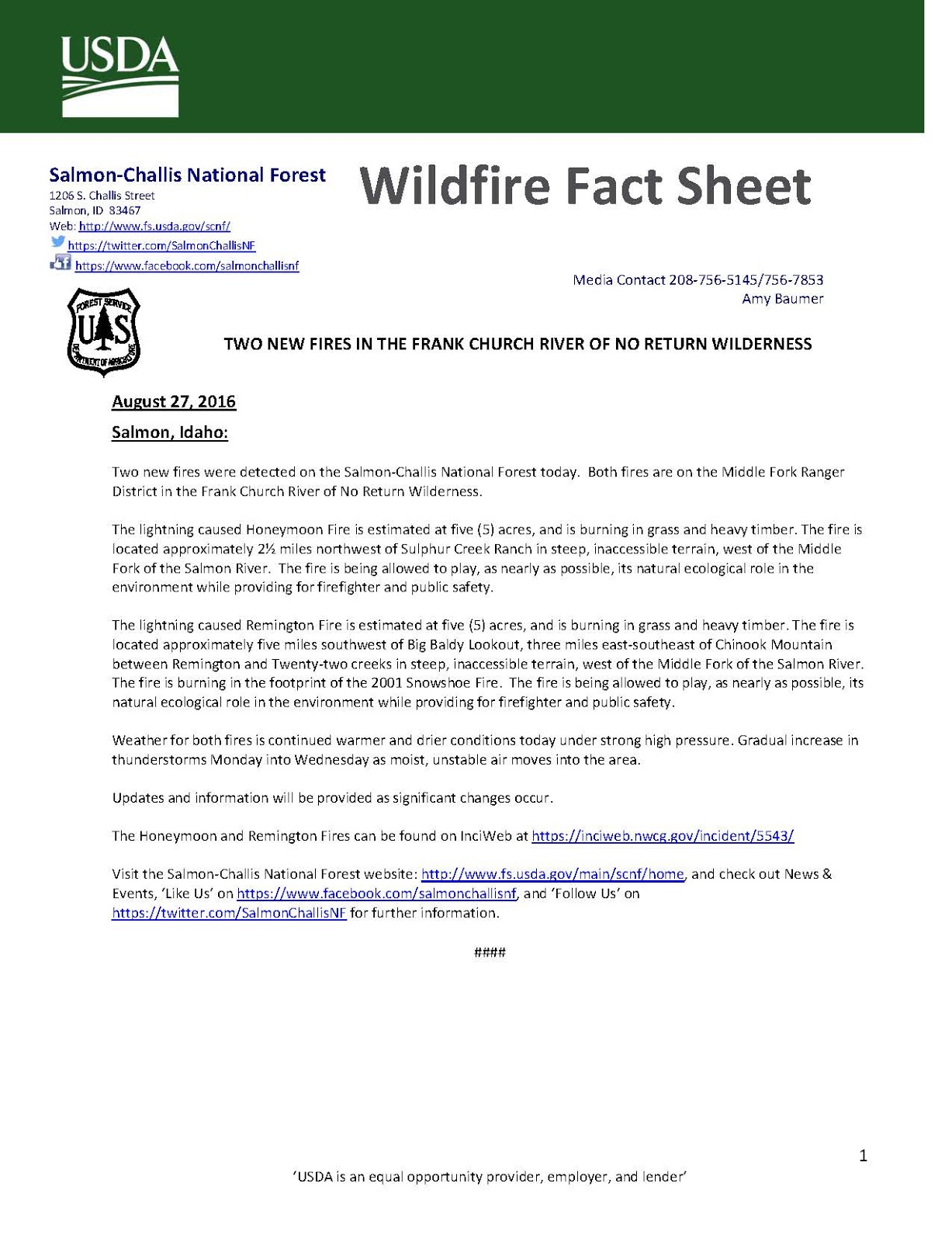
TWO NEW FIRES IN THE FRANK CHURCH RIVER OF NO RETURN WILDERNESS

SALMON-CHALLIS NATIONAL FOREST

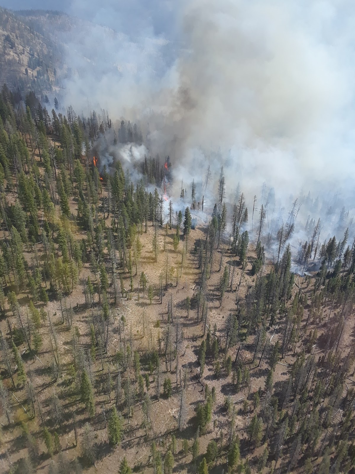
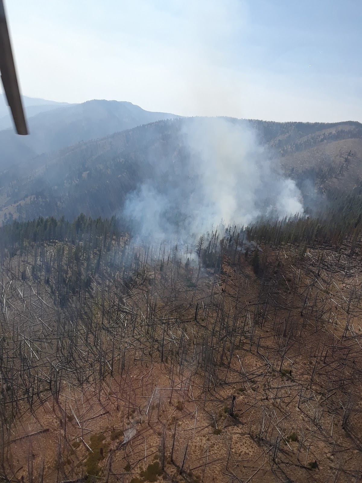
Honeymoon Fire 08/27/17

Remington Fire 08/27/17


Deer Park Fire PM Update

DATE: August 27, 2017 7:30 p.m.
CONTACT: Kelsey Griffee, 208-521-8709
Deer Park Fire
Twitter @IdahoFireInfo #DeerParkFire

Start Date: 8/25/2017 at 12:30 p.m.

Location and Jurisdiction: West of Menan Butte and north of Deer Park, 12 miles west of Rexburg, Idaho on BLM

Cause: Human, under investigation

Fire Size: 17,588 acres

Percent Contained: 65% contained, estimated containment August 28, 2017 at 8 p.m.

Structures Threatened: No structures are threatened.

Fuels and Terrain:  Grass and brush

Fire Behavior: Fire activity once again picked up in the afternoon driving the fire north, but at the time of this release fire activity is being reported as minimal and smoldering. There is still some isolated torching of unburned vegetation within the fire perimeter.  

Fire Crews/Resources: 14 engines, 4 dozers, 3 water tenders, and the Sawtooth Hotshots (115 firefighters). Multiple air tankers and 2 helicopters assisted ground resources in securing the fire perimeter today.

Evacuations:  No evacuations at this time.

Closures: The gun range, Unified Sportsmen’s Club, off of Hwy 33 and west of Menan Butte remains closed to the public, it is being used by firefighters as the incident command post.

Summary:  Firefighters made substantial progress today reaching 65% containment. This is in large part due to widening dozer line and retardant line around the fire perimeter. These tactics were tested this afternoon when winds picked up in the afternoon and drove the fire north again. The tactics worked and now fire activity has died down. Expect to still see smoke and flames from burning vegetation in the fire’s interior. Fire managers still expect full containment by the end of shift Monday, August 28.  

For breaking fire information, follow @BLMIdahoFire on Twitter and search for #BLMIFDFire for posts specifically related to eastern Idaho. For additional wildfire updates visit www.IdahoFireInfo.com.  One less spark means one less Idaho wildfire.

Ibex Fire August 27, 2017 Update 

Salmon-Challis National Forest


Deer Park Fire AM Update

News Release
DATE: August 27, 2017 10:30 a.m.
CONTACT: Kelsey Griffee, 208-521-8709
Deer Park Fire
Twitter @BLMIdahoFire #DeerParkFire 

Start Date: 8/25/2017 at 12:30 p.m.

Location and Jurisdiction: West of Menan Butte and north of Deer Park, 12 miles west of Rexburg, Idaho on BLM

Cause: Human, under investigation

Fire Size: 17,656 acres

Percent Contained: 30% contained, estimated containment August 28, 2017 at 8 p.m.

Structures Threatened: No structures are threatened at the time of this release. Structures were threatened last night near Hamer and then a wind shift occurred, which pushed the fire towards homes near Plano. County resources provided structure protection.

Fuels and Terrain:  Grass and brush

Fire Behavior: Winds shifted from the west to the north yesterday evening, which pushed the fire towards Plano (it is no longer threatening structures). Fire activity died down during the night, which firefighters took advantage of.

Fire Crews/Resources: 20 engines, 5 dozers, 3 water tenders, and the Sawtooth Hotshots (107 firefighters). Air attack is flying the fire this morning and is calling air tankers as needed.

Evacuations:  No evacuations at this time, Plano residents from 5000 N and 6000 W were able to return to their homes around 9:30 p.m. last night. For evacuation information contact the county sheriff’s office.

Closures: The gun range, Unified Sportsmen’s Club, off of Hwy 33 and west of Menan Butte remains closed to the public, it is being used by firefighters as the incident command post.

Summary:  Winds shifted to the north around 6:30 p.m. last night. This caused the fire to move towards Plano, where 5000 N and 6000 W residents were evacuated (evacuations are lifted at this time). Firefighters worked diligently through the night protecting homes and took advantage of the high humidity to slow the fire’s progress. There is almost dozer line around the whole fire perimeter and dozers will continue enforcing the fire line today. Air tankers will also continue to line the fire today with retardant. Firefighters will keep securing the line and still estimate full containment by end of shift August 28.  


For breaking fire information, follow @BLMIdahoFire on Twitter and search for #BLMIFDFire for posts specifically related to eastern Idaho. For additional wildfire updates visit www.IdahoFireInfo.com.  One less spark means one less Idaho wildfire.
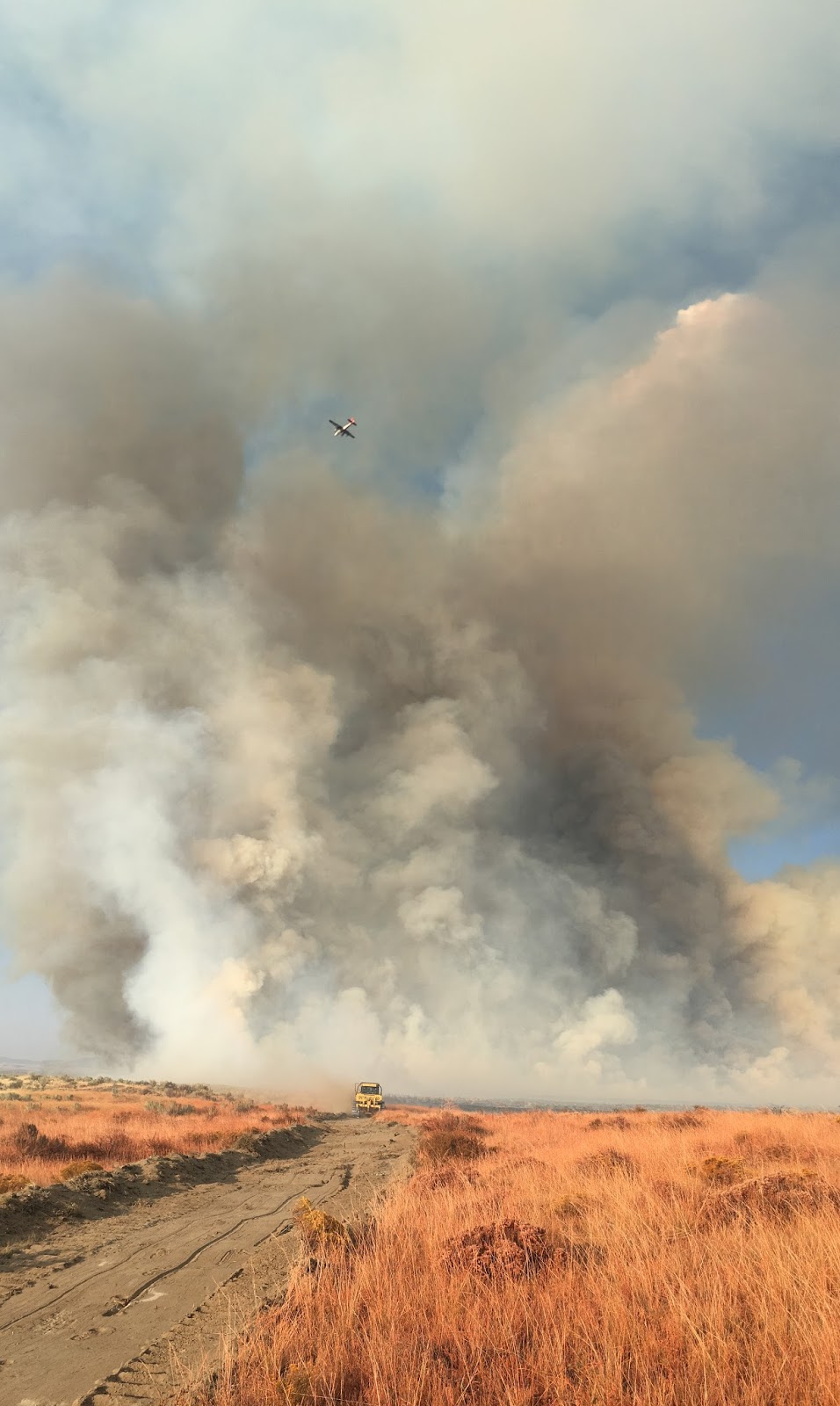
*Photo from BLM Engine Captain Austin Catlin, when the winds shifted pushing the fire north*